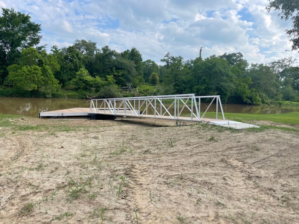
Poche Bridge Dock Completes Bayou Teche Paddle Trail

We have some exciting news just in time for the summer! Our last paddle trail dock has been installed in Poche Bridge at Poche’s Market (3015 Main Hwy., Breaux Bridge). Take advantage of a nice, short paddle (1.5 hours) to Breaux Bridge and stop in at Poche’s to take cracklins and boudin to go.

We’d like to thank St. Martin Parish Government for partnering with us on the Poche Bridge trailhead and Floyd Poche, who has installed a beautiful pavilion and parking area to compliment the Paddle Trail.

Get out on the water this summer and check out one of our 15 docks from Port Barre to Patterson!

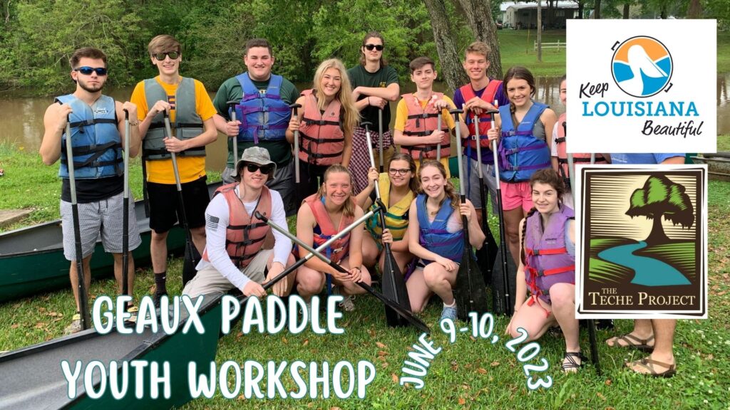
Youth Paddle Workshop Open to Ages 10-14

Our “Geaux Paddle” recreation program is offering paddling opportunities for kids ages 10-14 on Bayou Teche this summer. The goal of Geaux Paddle is to get kids who have never paddled before comfortable with paddling and then out enjoying Bayou Teche, the first National Water Trail in Louisiana! This program will happen over two days, with the first day including safety, instruction and an experiment on water testing led by water-quality expert Trent Haines. The second day will include paddling with Margaret and Jeff Simon and a Chihuly-inspired art project with local artist Marla Kristicevich made from recycled trash found on the bayou. All activities take place at our official dock in New Iberia. The paddle portion will also teach about wood duck boxes and the importance of providing safe nest sites for reproduction; education on flora and fauna and the importance of native plants; and trash pickup. See the full schedule below.

This program is being offered as the result of a Healthy Communities Grant from Keep Louisiana Beautiful. The two-day workshop is free to attend, but you must register on Eventbrite in advance. Kayaks/canoes, lifejackets, snacks and drinks will be provided.

Friday, June 9

Paddle Safety, Instruction & Water Quality Experiment
5-7 p.m.

Saturday, June 10

Paddle Trip, Bayou Education & Art Project
8:30 a.m.-noon

ALL ACTIVITIES TAKE PLACE AT OUR OFFICIAL DOCK AT 108 DUPERIER AVE. IN NEW IBERIA.

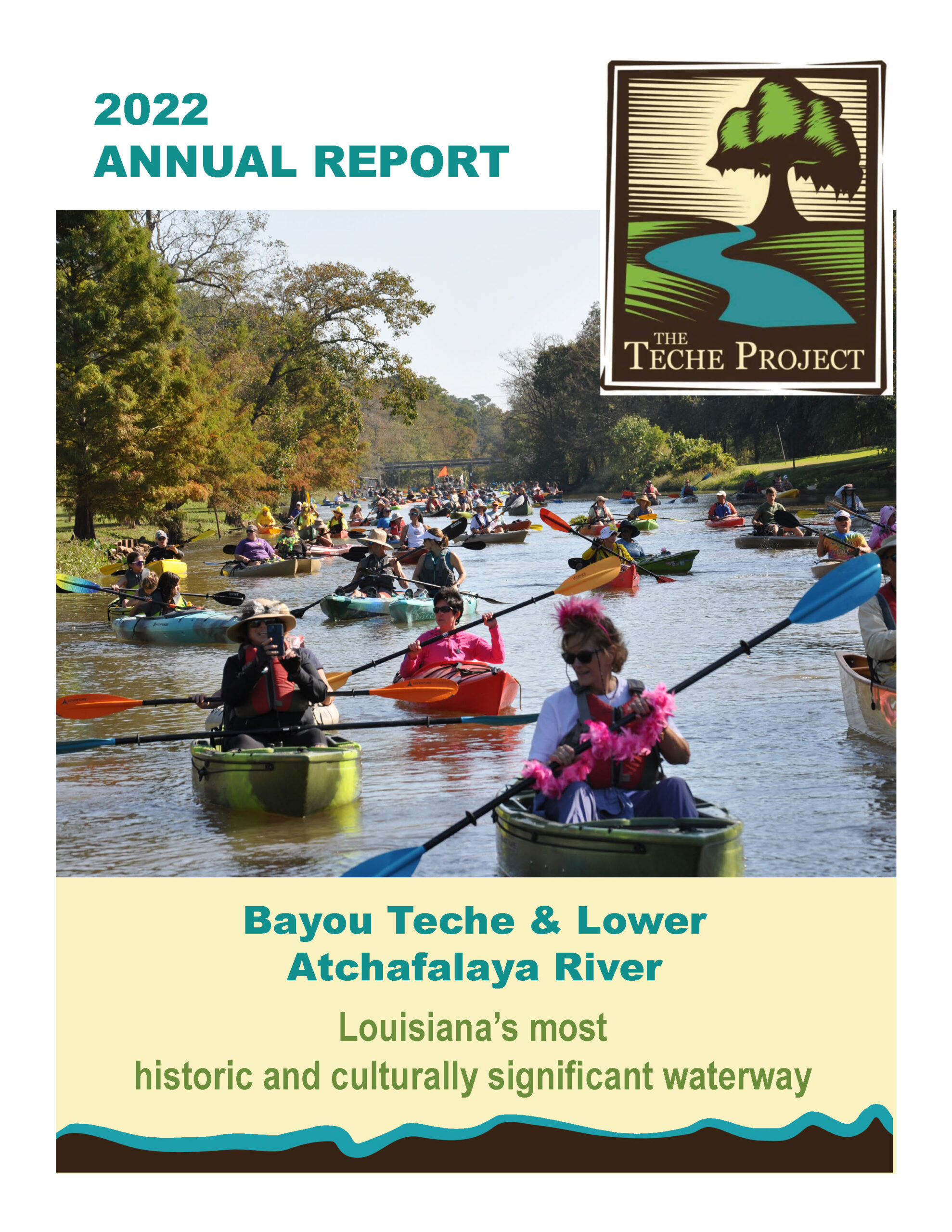
Download our 2022 Annual Report

We released our Annual Report for 2022 at our Annual Banquet in Jeanerette on March 11. Members and others interested in finding out more about our accomplishments over the past year and what’s coming in 2023 can download the report here.

Annual Banquet March 11

Please mark your calendar for our Annual Membership Banquet on Saturday, March 11! We will be celebrating our accomplishments from 2022 at Albania Mansion (21066 Hwy. 182 W) on the bayou in Jeanerette.

Albania was built in 1842 by Charles Grevemberg in the Greek Revival architectural style and sits on eight acres surrounded by hundred-year-old oak trees. It was featured in the movie adaptation of “All The King’s Men,” and Marilyn Monroe and Elvis Presley are both said to have stayed on the property. Inside, a curving staircase rises three stories, and some decor from previous owner artist Hunt Slonem is still evident. Now under new ownership, Albania is open to the public and available for events and private parties.

In addition to house tours, we will be offering paddling in advance of the banquet. If you’d like to paddle, just arrive between 3-4 p.m., and you can launch your own kayak right from the dock at Albania or our official dock at T.J. Viator City Park.

House tours will be offered from 3:30-4:30 p.m. See below for the full banquet schedule.

Banquet Schedule

Registration & mingling: 4:30-5 p.m.
Welcome & business meeting: 5-5:30 p.m.
Dinner & guest speakers: 5:30-6:30 p.m.
Social & silent auction with live music by Drew Simon & Lukas Meaux: 6:30-7:30 p.m.

About the Speakers:

Visual artists Kristie Cornell and Marla Kristicevich strive to create a conversation between people and the environment through the exploration of waterways with their Meander Mindset: Bayou Teche project. Together, they meandered the Teche, collecting organic samples and making photographs, textural rubbings, audio recordings and eco sculptures along the waterway. These collected materials and works create a visual narrative of the artists’ findings and encourage the viewer to reevaluate their connection to the natural world and to take the time to observe and appreciate their surroundings. They have also recently published a book, which will be for sale (and signing) at the banquet.

Admission

If you are a current member of The TECHE Project, you get in free. Non-members can sign up at the door (starting at $25 for an individual membership).

Dinner is included in the admission price. Beer and wine will be available with the purchase of a $10 commemorative glass.

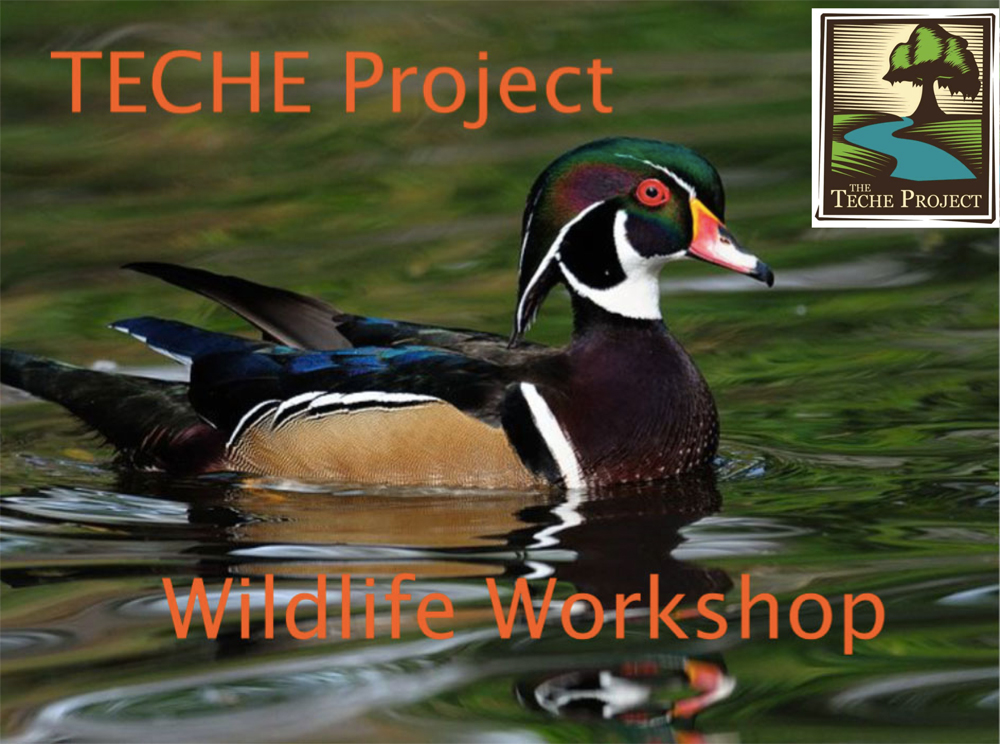
Wood Duck Workshop January 7

You’re invited to attend The TECHE Project’s Wildlife Management Workshop in Franklin on January 7, 2023. We will be holding this year’s workshop at the Teche Theatre in Franklin (501 Main St.) from 10 a.m. to noon.

The focus is on the ecology and rearing of wood ducks. You can also learn about how to film nestlings in the box and on Jump Day when they fledge from the box. Nest boxes will be available for sale, and free Bayou Teche Paddle Trail mile marker signs are available for those program participants on Bayou Teche.

Our target audience for this workshop is those living on Bayou Teche, but anyone who is interested in rearing wood ducks is welcome to attend. TECHE Project members and current Wood Duck Box Program participants get in free. For others, the cost is $10. We hope to see you there!

The Role of Wetland Delineation in Construction Planning

Construction projects require careful evaluation of the land before design and development begin. Soil conditions, drainage patterns, vegetation, flood risks, and environmental restrictions can all affect where and how a project may be built.

Wetland delineation is an important part of this early planning process. It identifies the location and boundaries of wetlands so property owners, engineers, developers, and contractors can make informed decisions before disturbing the site.

Identifying Wetland Boundaries

Wetlands are not always easy to recognize by appearance alone. Some remain wet throughout the year, while others may appear dry during certain seasons.

Professionals evaluate several factors, including vegetation, soil characteristics, and signs of water saturation. These observations help determine where wetland areas begin and end.

Accurate boundaries give the project team a clearer understanding of which portions of the property may be suitable for development.

Supporting Site Design

Once wetland boundaries are established, architects and engineers can design the project around sensitive areas. Buildings, roads, parking areas, utilities, and drainage systems may need to be relocated or adjusted.

Early identification can reduce the need for major design changes later. It can also help preserve natural drainage patterns and create practical buffer areas between construction and wetlands.

Helping With Permitting

Wetlands may be regulated by federal, state, and local agencies. Disturbing these areas without the required authorization can lead to delays, fines, restoration requirements, or legal disputes.

A delineation report provides information that may be needed during environmental reviews and permit applications. Depending on the project, agencies may request maps, field data, photographs, and supporting documentation.

Using qualified st cloud wetland delineation services can help project teams gather the site-specific information needed for responsible planning and regulatory coordination.

Reducing Construction Delays

Discovering a wetland after construction has started can create serious scheduling problems. Work may need to stop while the site is evaluated and permits are reviewed.

Completing the delineation early helps identify potential restrictions before contractors, equipment, and materials arrive. This allows the project team to build realistic timelines and address environmental concerns during the planning stage.

Protecting the Project Budget

Unexpected environmental issues can increase project costs. Redesign work, permitting delays, mitigation requirements, and changes to access routes may all affect the budget.

Wetland delineation helps developers understand these risks before making major financial commitments. The findings can influence land purchase decisions, project feasibility studies, and construction cost estimates.

Supporting Stormwater Planning

Wetlands often store water, slow runoff, and support natural drainage. Construction near these areas can change how water moves across the property.

Engineers can use delineation information when designing grading plans, stormwater systems, retention areas, and erosion-control measures. Protecting natural drainage features may reduce flooding and soil erosion during and after construction.

Preventing Accidental Disturbance

Construction crews need clear information about restricted areas. Wetland boundaries may be marked in the field so workers know where equipment, materials, and temporary access routes should not be placed.

These markings help prevent accidental clearing, filling, excavation, or soil compaction. Contractors may also use protective fencing and designated work zones to limit disturbance.

Evaluating Development Feasibility

Some properties contain wetlands that significantly reduce the amount of buildable land. In other cases, the wetland may occupy only a small portion of the site and have little effect on the proposed project.

A delineation allows owners and developers to evaluate the property realistically. The results can help determine whether the original development concept is practical or whether an alternative layout is needed.

Planning Utility and Road Locations

Roads, sewer lines, water lines, electrical systems, and other infrastructure often cross large areas of a site. Their placement may be affected by wetlands and required buffer zones.

Knowing the boundaries early allows engineers to select routes that minimize environmental impacts. Avoiding wetlands may also simplify permitting and reduce the need for costly mitigation.

Preserving Environmental Functions

Wetlands provide valuable ecological functions. They may support wildlife habitat, improve water quality, store floodwater, and reduce erosion.

Construction planning that accounts for these areas can help preserve their natural benefits. Avoidance is often the simplest approach, although some projects may require carefully planned impacts and compensatory measures.

Coordinating With Other Site Studies

Wetland delineation is often completed alongside surveys, geotechnical investigations, habitat assessments, floodplain reviews, and environmental site evaluations.

Combining these studies gives the project team a more complete understanding of the land. The information can then be incorporated into engineering drawings, permit documents, and construction plans.

Updating Older Delineations

Site conditions and regulatory requirements may change over time. A wetland report completed many years earlier may no longer reflect current vegetation, drainage, or agency standards.

Before relying on an older study, developers should determine whether an updated field evaluation is necessary. Current information can reduce uncertainty and improve the accuracy of planning decisions.

Final Thoughts

Wetland delineation helps construction teams identify environmental constraints before site work begins. It supports accurate design, permitting, budgeting, drainage planning, and field protection.

By completing this evaluation early, developers can reduce delays, avoid accidental impacts, and create plans that balance construction goals with responsible land management.
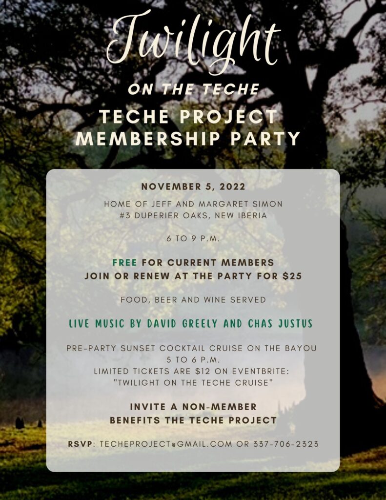
Membership Party Coming Up Nov. 5

Iris Planting/Bayou Cleanup Oct. 1

Come on out to New Iberia City Park on Saturday, Oct. 1, for iris planting in partnership with the Louisiana Iris Conservation Initiative and some bayou cleanup.

For the second year in a row, the Louisiana Iris Conservation Initiative (LICI) and the TECHE Project are partnering to plant native wetlands plants along a stretch of Bayou Teche shoreline. Concrete rip-rap has been removed from a section of the bayou’s bank for this demonstration project.
The purpose of the project is to show landowners along the bayou that native plants can be used to stabilize the shoreline instead of rip-rap. Of course, the project will also beautify this section of City Park and Bayou Teche and eliminate any trash in this area.

I. giganticaerulea irises, a native species of Louisiana iris that grows in the swamps and marshes south of New Iberia, will be used in the project. This will help achieve our goal of introducing to the public this wonderful native plant, which is the state wildflower of Louisiana.

Rubber rain boots are recommended for volunteers. Please bring a long-handled shovel if you have one. Bottled water will be supplied. There are nearby bathrooms in the park.

If you’d like to participate, send an email to licisaveirises@gmail.com.

Save the Date for Shake Your Trail Feather on Oct. 22

The TECHE Project is proud to announce the 11th Annual “Shake Your Trail Feather” Festival: a celebration of the Bayou Teche Paddle Trail.

The Shake Your Trail Feather event is both a “Paddle Parade” and a “Party in the Parc” with food and live music on Oct. 22, 2022. The Paddle Parade will start at Poche’s Country Club at 10 a.m. and go 6.5 miles to Lil’s on the Teche lounge south of Breaux Bridge. For those wishing to paddle a shorter distance, paddlers can pull out at Parc des Ponts in Breaux Bridge after 4.5 miles. The whacky, feather-clad Paddle Parade (no motorized boats, please) will float down Bayou Teche accompanied by live music with two Cajun bands playing on decorated barges. The TECHE Project also encourages folks living on the bayou to join the fun by watching from the bank.

Click here to register for the paddle on Eventbrite.

After the parade, a celebration will take place at Parc des Ponts in Breaux Bridge. Anyone who is interested can come usher in the paddlers and show their support for the bayou. Starting at 11:30 a.m., there will be food vendors, libations, merchandise and kids’ activities. Live music with Horace Trahan and the Ossun Express will be playing on the stage from noon to 2 p.m. Other event highlights include prizes for those dressed as birds and the ever-popular raffle of a kayak donated by Pack and Paddle at 2 p.m.

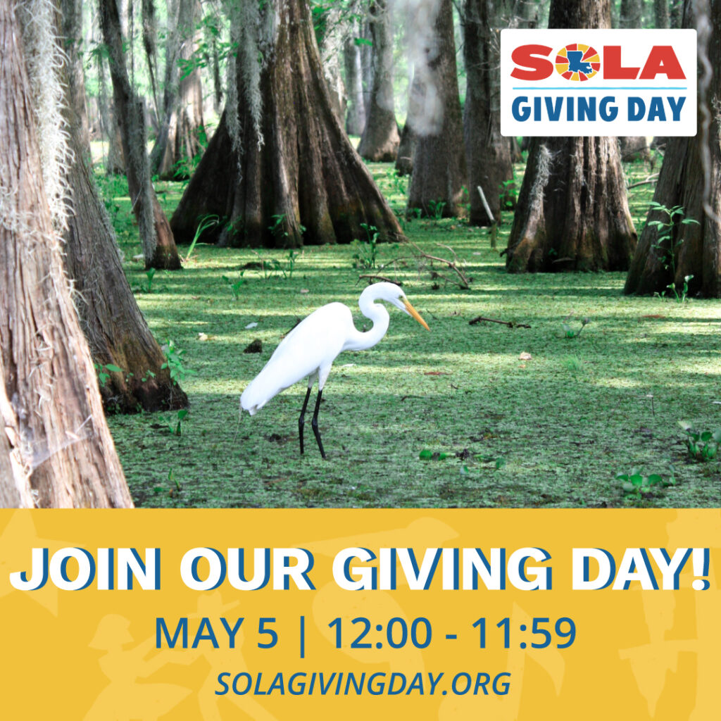
Support us for SOLA Giving Day

We participated in the Community Foundation of Acadiana’s SOLA Giving Day for the first time last year and raised $3,000, so we thought we’d try it again this year. We’re increasing our goal to $5,000 and focusing on youth ecological education, recreation and paddling for 2022.

Our planned “Geaux Paddle” program will provide paddling opportunities and education about littering and water quality on Bayou Teche. The goal of Geaux Paddle is to get kids ages 10-14 who have never paddled comfortable with paddling and then out enjoying Bayou Teche. Our hope is that these kids will take what they learn back to their families, friends and community and, ultimately, help make Bayou Teche a cleaner and healthier waterway.

CLICK HERE TO GIVE AND SUPPORT OUR MISSION ON BAYOU TECHE!

Our end goal is to get Bayou Teche removed from the state’s impaired waterways list. Trash pickup and youth education about the harmful effects of littering is an important step toward this goal. After the initial launch of Geaux Paddle in New Iberia, we will move the program up and down the bayou to St. Landry, St. Martin and St. Mary parishes to reach more children and make an impact on the entire 135-mile bayou and the 16 Trail Towns we serve.

We are accepting donations now leading up to the BIG DAY OF GIVING on May 5. We’ll take any amount, large or small, and appreciate all of our loyal supporters! Please tell your friends and family about this opportunity to support our mission.