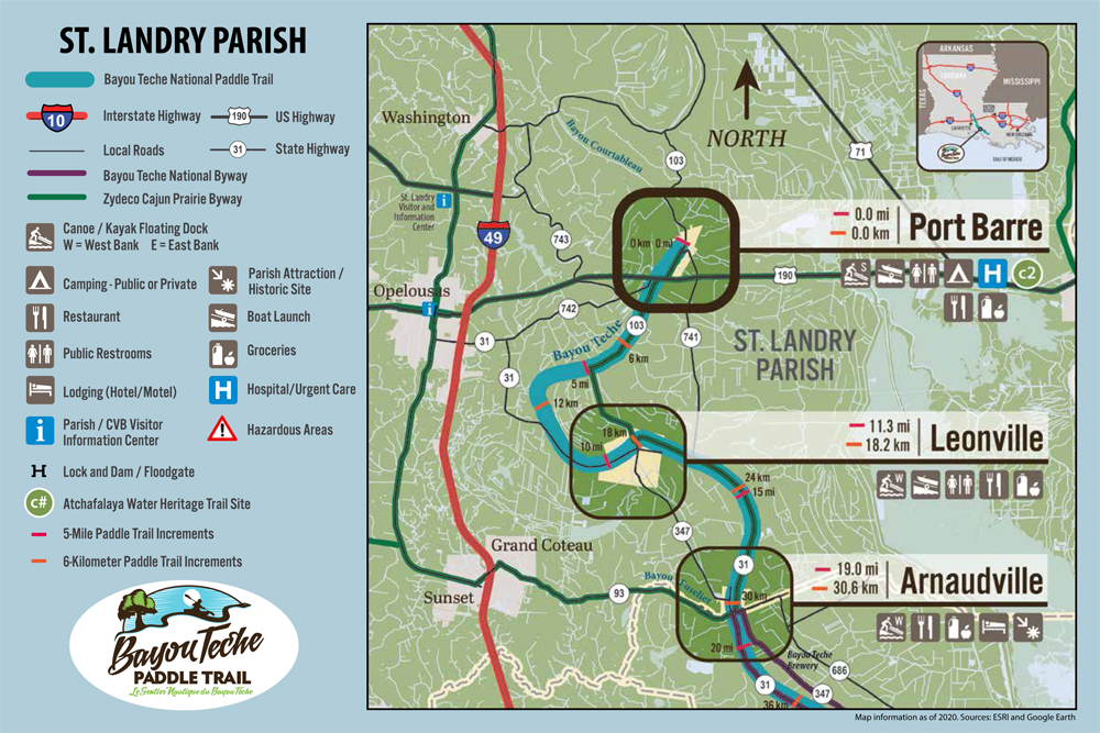
With amenities along the Bayou Teche National Water and Paddle Trail nearing completion, The TECHE Project has created new maps for those wanting to paddle the trail. Maps are available for each of the four parishes along the trail: St. Landry, St. Martin, Iberia and St. Mary. Safety information and paddling tips are located on the back of each map.
This project was funded in part by a grant from the Atchafalaya National Heritage Area. Maps are available at tourist and visitors’ centers in each parish, on our website HERE and Pack and Paddle. The maps are free and also downloadable and printable.